Peti dibuka
+${chestReward.xp} XP
Explorer
NOUVEAU ×${chestReward.collectible.quantity}
tapez pour fermer

Lihat monumen di sekitar Anda dalam AR Buka peti di aplikasi

Around Us dibuat untuk ponsel Anda — arahkan kamera ke jalanan dan temukan monumen serta tempat-tempat di sekitar Anda dalam augmented reality. Around Us dibuat untuk ponsel Anda — peti terbuka saat Anda berjalan, menjelajah, dan mengabadikan tempat-tempat di sekitar.

•

Aktifkan Lokasi

Kami memerlukan lokasi Anda untuk menampilkan tempat-tempat menarik di sekitar Anda

Temukan tempat di sekitar

Temukan lokasi menarik dan permata tersembunyi di sekitar Anda

Petunjuk arah yang tepat

Dapatkan petunjuk arah dan jarak yang akurat ke berbagai tempat

Lokasi Anda tidak pernah dibagikan kepada pengguna lain. Lokasi hanya digunakan saat Anda mengetuk tombol lokasi.

Burton Manor

Masuk ke akun Anda

Mulai menjelajah — gratis

Dipercaya oleh 90.694 pelancong di seluruh dunia

Lanjutkan dengan Google
Lanjutkan dengan Apple
atau

Kami akan mengirimkan kode kepada Anda untuk masuk

Dengan melanjutkan, Anda menerima Syarat dan Ketentuan serta Kebijakan Privasi kami

Periksa kotak masuk Anda

Kami telah mengirimkan kode PIN ke kotak masuk Anda. Silakan masukkan kode di bawah ini.

Diskusi Ulasan 1 Foto
3,9 rb Popularitas

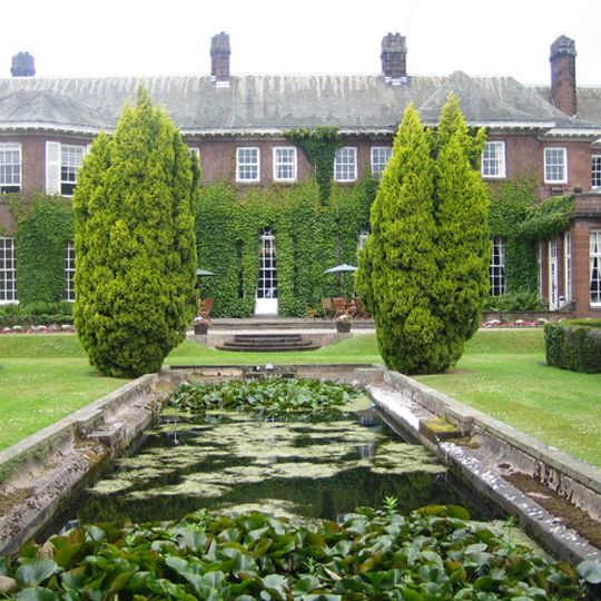
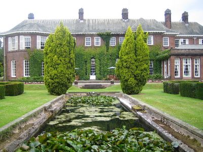
Burton Manor, Rumah bangsawan di Cheshire West and Chester, Inggris.

Panduan audio · Sekitar satu menit
Menyiapkan panduan audio Anda… Panduan audio tidak dapat dimuat, silakan coba lagi.Masuk untuk mendengarkan panduan audio

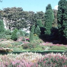
Burton Manor adalah rumah yang dibangun dari batu pasir merah dengan atap batu tulis hijau dan cerobong asap berhias yang terbuat dari batu dan bata. Bangunan ini terletak di dalam taman berdinding dan lahan lanskap yang membentuk taman dan kebun bersejarah yang terdaftar.

Rumah ini dibangun pada tahun 1805 untuk Richard Congreve dan mengalami perubahan besar pada tahun 1904 ketika arsitek Charles Nicholson merancang ulang. Perubahan ini dilakukan untuk Henry Neville Gladstone, yang ayahnya menjabat sebagai Perdana Menteri.

Rumah ini melayani komunitas sebagai pusat pendidikan orang dewasa selama bertahun-tahun, menyambut siswa yang datang untuk belajar dan tinggal di lokasi. Peran pendidikan ini membentuk bagaimana tempat itu digunakan dan dihargai oleh penduduk setempat.

Taman berdinding menyambut pengunjung dan dipelihara oleh organisasi lokal yang berdedikasi untuk melestarikan fiturnya. Anda dapat menjelajahi lahan dengan santai dan harap bersiap untuk berjalan melalui berbagai bagian properti.

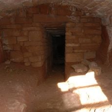
Lahan ini berisi rumah es bersejarah yang dilindungi sebagai monumen terjadwal. Struktur bawah tanah ini menunjukkan bagaimana orang dahulu mengawetkan makanan selama bulan-bulan terpanas sebelum pendinginan modern ada.

Komunitas para pelancong yang penuh rasa ingin tahu

AroundUs menghimpun ribuan tempat pilihan, tips lokal, dan permata tersembunyi, yang diperkaya setiap hari oleh 60,000 kontributor di seluruh dunia.
Mulai menjelajah
Koordinat GPS
53.25960,-3.02850
Pembaruan terakhir
9 Oktober 2026 14:26
Di sekitar tempat ini
Ness Botanic Gardens
Inggris Raya

Ness Botanic Gardens

1.7 km
St Michael's Church, Shotwick
Inggris Raya

St Michael's Church, Shotwick

3.2 km
Shotwick Hall
Inggris Raya

Shotwick Hall

3.1 km
Burton Point
Inggris Raya

Burton Point

1.3 km
St Nicholas' Church, Burton
Inggris Raya

St Nicholas' Church, Burton

330 m
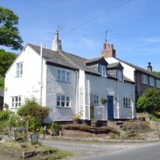
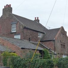
Bishop Wilson's House
Inggris Raya

Bishop Wilson's House

120 m
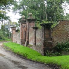
Front garden walls and gatepiers at Shotwick Hall
Inggris Raya

Front garden walls and gatepiers at Shotwick Hall

3 km
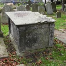
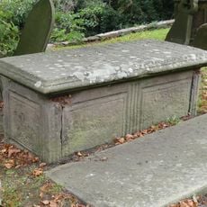
Tombchest of Robert and Martha Ellison, 10 metres southwest of south corner of tower of Church of St Michael
Inggris Raya

Tombchest of Robert and Martha Ellison, 10 metres southwest of south corner of tower of Church of St Michael

3.2 km
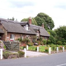
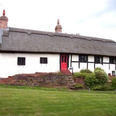
Rake Farm Cottage
Inggris Raya

Rake Farm Cottage

83 m
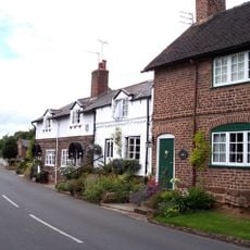
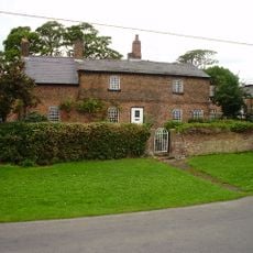
Plessington Cottage
Inggris Raya

Plessington Cottage

253 m
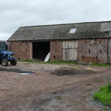
L-shaped ranges of farm buildings 60 metres north of Shotwick Hall
Inggris Raya

L-shaped ranges of farm buildings 60 metres north of Shotwick Hall

3 km
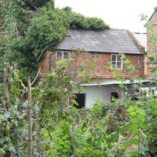
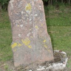
Ice house approximately 75 metres south west of Burton Manor
Inggris Raya

Ice house approximately 75 metres south west of Burton Manor

108 m
Barn End
Inggris Raya

Barn End

108 m
Sundial in the churchyard of St Michael
Inggris Raya

Sundial in the churchyard of St Michael

3.2 km
Laburnam Farmhouse And Garden Walls Attached At Front
Inggris Raya

Laburnam Farmhouse And Garden Walls Attached At Front

2.3 km
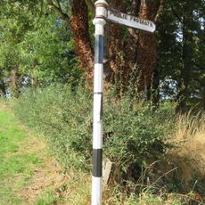
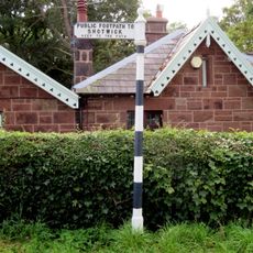
Footpath Guidepost At Junction Of Pipers Lane Opposite The White House
Inggris Raya

Footpath Guidepost At Junction Of Pipers Lane Opposite The White House

1.5 km
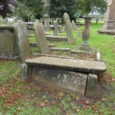
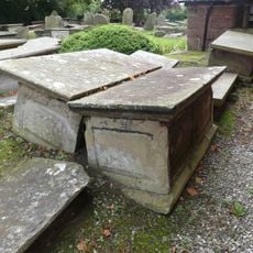
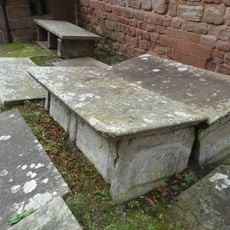
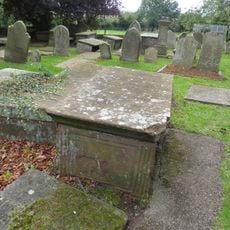
Group of 18 chest tombs, approximately 2 metres from the southeast corner of Church of St Nicholas
Inggris Raya

Group of 18 chest tombs, approximately 2 metres from the southeast corner of Church of St Nicholas

325 m
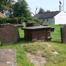
Tombchest of James Phillips, 2 metres south of the sundial in the Churchyard of St Michael
Inggris Raya

Tombchest of James Phillips, 2 metres south of the sundial in the Churchyard of St Michael

3.2 km
Former kitchen or bakehouse attached to north east corner of Shotwick Hall
Inggris Raya

Former kitchen or bakehouse attached to north east corner of Shotwick Hall

3 km
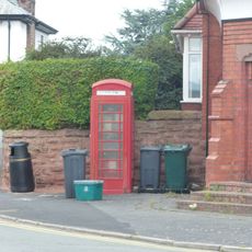
K6 Telephone Kiosk In Forecourt Of Post Office (Post Office Not Included)
Inggris Raya

K6 Telephone Kiosk In Forecourt Of Post Office (Post Office Not Included)

2.3 km
Tombchest of Rev M Reay and 4 children, 8 metres south of south porch of Church of St Michael
Inggris Raya

Tombchest of Rev M Reay and 4 children, 8 metres south of south porch of Church of St Michael

3.2 km
Tombchest of John Nevett Bennett, 5 metres west of south porch of St Michael's Church
Inggris Raya

Tombchest of John Nevett Bennett, 5 metres west of south porch of St Michael's Church

3.2 km
Tombchest of William Briscoe (died 1723) and others, 4 metres west of priest's door to St Michael's Church
Inggris Raya

Tombchest of William Briscoe (died 1723) and others, 4 metres west of priest's door to St Michael's Church

3.2 km
Vicarage Farmhouse
Inggris Raya

Vicarage Farmhouse

3.2 km
Tombchest of William Briscoe (died 1704) and others, 5 metres southwest of priest's door to St Michael's Church
Inggris Raya

Tombchest of William Briscoe (died 1704) and others, 5 metres southwest of priest's door to St Michael's Church

3.2 km
Footpath Guidepost 5 Metres North Of Top Lodge
Inggris Raya

Footpath Guidepost 5 Metres North Of Top Lodge

1.8 km
Goldstraw Farmhouse And Attached Farm Building To North West
Inggris Raya

Goldstraw Farmhouse And Attached Farm Building To North West

2.2 km
Milestone, Chester High Road, just N of hospital entrance
Inggris Raya

Milestone, Chester High Road, just N of hospital entrance

3.2 km
Tampilkan peta lengkap
Ulasan
Bagikan pengalaman Anda

Belum ada ulasan

Diskusi
Mulai diskusi...

Belum ada diskusi

« Burton Manor - Rumah bangsawan di Cheshire West and Chester, Inggris » disediakan oleh Around Us (id.aroundus.com). Gambar dan teks berasal dari proyek Wikimedia di bawah lisensi Creative Commons. Anda diizinkan menyalin, mendistribusikan, dan memodifikasi salinan halaman ini, sesuai ketentuan yang ditetapkan oleh lisensi, selama catatan ini terlihat dengan jelas.

Temukan permata tersembunyi di mana pun Anda pergi!

Dari kafe tersembunyi hingga titik pandang yang menakjubkan, hindari tempat wisata yang ramai dan temukan tempat yang sesuai dengan gaya Anda. Aplikasi kami memudahkannya dengan pencarian suara, filter cerdas, optimasi rute, dan tips orang dalam dari para pelancong di seluruh dunia. Unduh sekarang untuk pengalaman seluler yang lengkap.
Around Us App Screenshot
❝

Cara unik untuk menemukan tempat-tempat baru❞

— Le Figaro

❝

Semua tempat yang layak dijelajahi❞

— France Info

❝

Ekskursi sesuai keinginan hanya dengan beberapa klik❞

— 20 Minutes

Around Us
Panduan Wisata & Peta
Unduh

Kirim ke ponsel Anda

QR Code
1

Buka aplikasi kamera di ponsel Anda.

2

Arahkan kamera ke kode QR. Sebuah notifikasi akan muncul.

3

Ketuk notifikasi untuk membuka tautan.