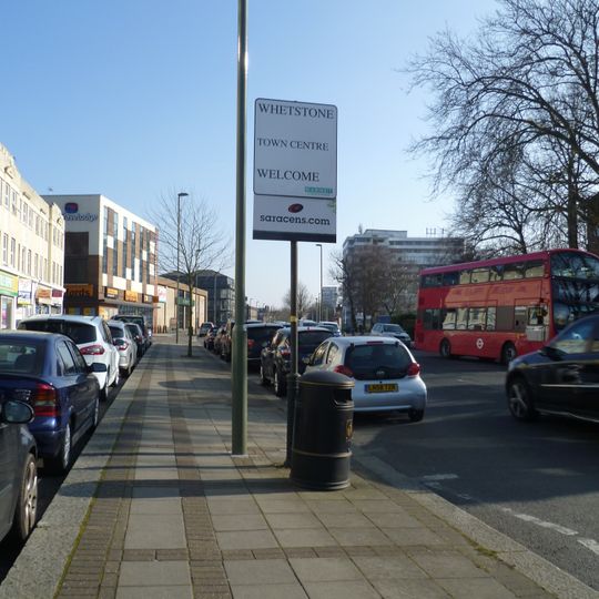
Whetstone, area of London in north England
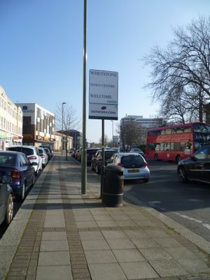
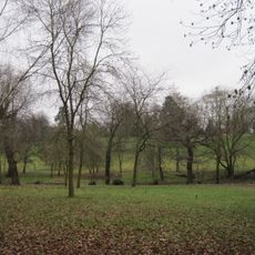
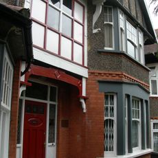
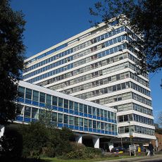
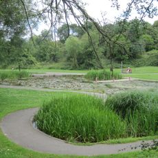
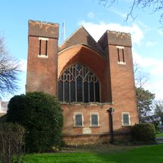
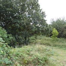
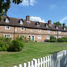
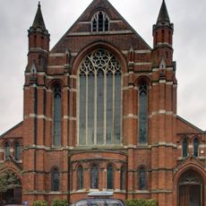
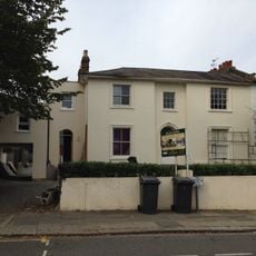
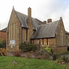
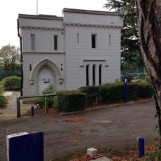
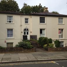
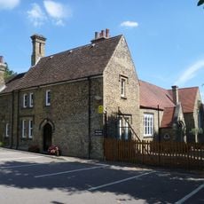
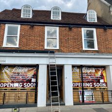
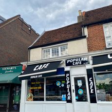
Whetstone is an area in north London within the London Borough of Barnet, located about 7.8 miles from Charing Cross. It is structured around the High Road, which contains shops, cafes, and residential properties, with parks and green spaces like Friary Park and Oakleigh Park providing open areas for recreation.
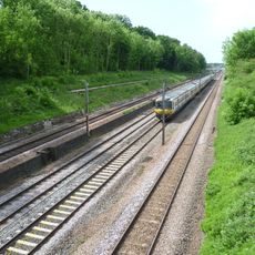
From medieval times, the area served as a key stopping point on the northern route from London, with inns and traders becoming established along this important passage. A toll road opened around the 1700s, bringing stagecoaches through regularly, and the arrival of the railway in the 1800s shifted how people traveled while the community continued to grow.
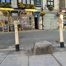
The name may come from a stone outside the local pub, The Griffin, which held significance in the area's past. Today, residents and visitors experience the place as a residential neighborhood that has maintained its small-scale, walkable character despite its growth into a London suburb.
The area is accessible by bus and train stations including Totteridge and Whetstone and Oakleigh Park. Walking the High Road and nearby streets is straightforward, and visitors can reach local parks such as Friary Park and the Dollis Valley Greenwalk for outdoor walks without difficulty.
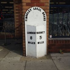
An old stone outside the Griffin pub is linked to local stories and may have served as a mounting block for carriages or connections to soldiers before a 1471 battle. This historic stone was moved slightly during the 1800s when the toll gate was removed, yet it remains a tangible reminder of how travelers once passed through.
Komunitas para pelancong yang penuh rasa ingin tahu
AroundUs menghimpun ribuan tempat pilihan, tips lokal, dan permata tersembunyi, yang diperkaya setiap hari oleh 60,000 kontributor di seluruh dunia.